Local jobs in Monbulk
Verified across SEEK, HorticultureJobs & local business career pages.
All jobs & employer portals →
Drag any tile by the six dots at the top to reorder, or open a tile's ☰ menu to remove it or choose its width (S, M or L).
Available widgets to add (tap to place on dashboard)
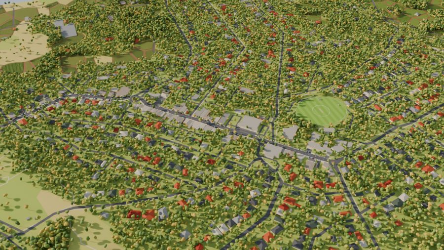
Fly over Main Road, the Rec Reserve & 185 local places in real-time light.
Quick notices: lost and found, a garage sale, a club short of volunteers. They come down after 5 days. For anything that needs replies, use the Town Square. Council, planning and outage notices are on the Notices page.
Loading games…
Loading games…
Loading fuel prices…
Tap any tile below to pin or unpin it from your 5 home-screen slots:
Loading games…
Loading games…
Explore Monbulk
Tap any category to filter the directory and highlight its glowing pins on the 3D map above.
About Monbulk
The name is believed to come from the Wurundjeri word Monbolok, “hiding place in the hills”.
Europeans first called it the Dandenong Forest Village Settlement. The town was laid out in 1893 as 76 farms on ten-acre blocks, and the red soils have grown fruit, vegetables and flowers ever since. Nurseries and flower growing are still the town's biggest local industries.
Sources: Monbulk, Wikipedia · Visit Yarra Valley · elevation from AWS Terrain Tiles.